Still BIG but not as brown
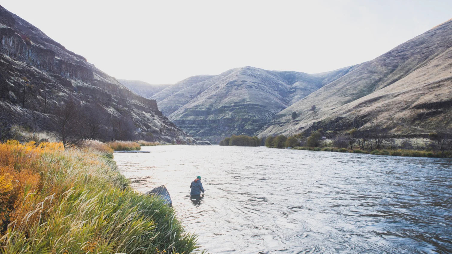
This is a quick update on the river. The Deschutes is quite large still and a bit off color, presenting anglers with about 1-2 feet of visibility. I would say it could take at least 5-6 more days before we see the river back at a normal flow and a bit more clear. Right now, the spots where you can actually fish are few and far between with the water right up in the trees and bushes. It can be quite dangerous to wade out past the tree limbs into the muddy unknown - and even more dangerous to be standing thigh deep in fast water with trees, branches, and other debris floating down the river. However, for those anglers who know this rover well and have confidence in wading, the trout are still eating flies in the soft pockets along the river's edge.
I just talked to a guy who had a good morning this morning in those soft water pockets catching some nice trout and a few whitefish. Bright fly patterns are the best bet when the water is high and dirty. Think San Juan worms, Lightning Bugs, pink beadheads, orange beadheads, and any large black stone patterns.
It may not be perfect, but the Deschutes around Maupin is an option for you this weekend. I know the options are few and far between with water being high around the state.
I have gotten a few questions from anglers about the regulations at this time of year. The lower Deschutes river is divided into two pieces - the piece of the river (both east and west banks) that shares a border with the Warm Springs Indian Reservation, and the piece of the river that does not border the Warm Springs Indian Reservation. In the winter (after January 1) the piece of the river that borders the Reservation is CLOSED to all fishing until the 3rd weekend in April. This means that Warm Springs, Mecca, Trout Creek, and South Junction access points are all closed to angling until late April. Everything that you can access from the roads that run along the river north and south of Maupin is open year-round. If you float down the river from Trout Creek to Maupin, you cannot stop to fish until you are well-past the North Junction bridge (the one bridge that you float under) and you see the sign on the reservation side that shows where the boundary is. Two Springs ranch on the east bank is the southern boundary line.


